Small - 100 world physical outline map for school
Small - 100 world physical outline map for school Original price was: ₹90.00.Current price is: ₹89.00.
Back to products
Small - 100 north america physical outline map for school
Small - 100 north america physical outline map for school Original price was: ₹90.00.Current price is: ₹89.00.

Small – 100 north america political outline map for school

Original price was: ₹90.00.Current price is: ₹89.00.

Weight 200 g
Dimensions 7 × 8 in
HSN Code

49059990

Material

Paper

Country of Origin

India

Add 410.00 to cart and get free shipping!

1000 in stock

SKU: GWCH1082---GW95 Category: Tag:
Description

Description

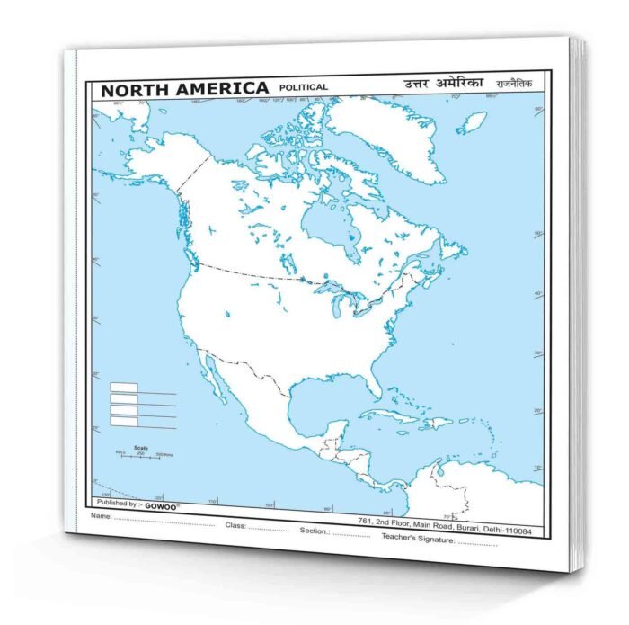
A small 100 North America political outline map for school is a valuable tool that allows students to explore and understand the political dynamics of the North American continent. This compact map provides a simplified visual representation of the political boundaries, divisions within North America. Its size is 7*8 inch, and it has perforated edges.
Explicitly designed for educational purposes, this map clearly and concisely presents North America’s political divisions.
The small size of the map makes it ideal for classroom use. It can be easily displayed on a bulletin board, distributed to individual students, or used in interactive presentations. Its compact nature ensures students can explore and study the map without feeling overwhelmed, facilitating a focused and engaging learning experience.
Using the map, students can identify and label the political boundaries of countries and territories in North America. This not only enhances their geographic knowledge but also helps them grasp the geopolitical relationships and interactions within the continent.
Moreover, the map encourages students to analyze and think critically about the political divisions in North America.
The map also serves as a starting point for classroom discussions and activities. Teachers can prompt students to explore and compare the political systems and structures of different countries within North America.
The map also facilitates interdisciplinary connections. It can be integrated into subjects such as social studies, geography and civics, allowing students to explore the intersection of politics with other disciplines.
By engaging with this map, students develop a deeper understanding of North America’s political divisions.

Shipping & Delivery

MAECENAS IACULIS

Vestibulum curae torquent diam diam commodo parturient penatibus nunc dui adipiscing convallis bulum parturient suspendisse parturient a.Parturient in parturient scelerisque nibh lectus quam a natoque adipiscing a vestibulum hendrerit et pharetra fames nunc natoque dui.

ADIPISCING CONVALLIS BULUM

  • Vestibulum penatibus nunc dui adipiscing convallis bulum parturient suspendisse.
  • Abitur parturient praesent lectus quam a natoque adipiscing a vestibulum hendre.
  • Diam parturient dictumst parturient scelerisque nibh lectus.

Scelerisque adipiscing bibendum sem vestibulum et in a a a purus lectus faucibus lobortis tincidunt purus lectus nisl class eros.Condimentum a et ullamcorper dictumst mus et tristique elementum nam inceptos hac parturient scelerisque vestibulum amet elit ut volutpat.

0 reviews
0
0
0
0
0

There are no reviews yet.

Be the first to review “Small – 100 north america political outline map for school”